The BONUS BASMATI project
BONUS BASMATI – Supporting Maritime Spatial Planning with Science
As described in the project summary video above, the overall objective of BONUS BASMATI was to develop integrated and innovative solutions for Maritime Spatial Planning (MSP) from a local to a Baltic Sea Region scale; this has been pursued by means of multi-level governance structures and interactive information technology aiming at developing an ecologically and socio-economically sound network of protected marine areas covering the Baltic Sea.
Based on results of former and ongoing MSP projects, the BONUS BASMATI project analysed governance systems and their information needs regarding MSP in the Baltic Sea region in order to develop an operational, transnational model for MSP, while maintaining compliance with existing governance systems. To facilitate broad access to information and to foster collaboration among MSP authorities and stakeholders in the Baltic Sea Region, a suite of methods and tools to enable maritime spatial planning was developed. Included in the suite are concepts for the assessments of plan-proposals, the Baltic Explorer platform for collaborative planning, and specific spatial decision support tools.
Maritime spatial planning is a demanding discipline applying a holistic and ecosystem-based approach in order to balance blue growth interests and the various maritime uses with the protection of the marine environment. Maritime spatial planning is also a comprehensive collaborative learning process crossing borders as well as disciplines. The BONUS BASMATI summary report presents the main outcomes of the BONUS BASMATI project ‘Baltic Sea Maritime Spatial Planning for Sustainable Ecosystem Services’ through two themes: Concepts & approaches, and Platforms & tools.
BONUS BASMATI project coordinator
Professor Henning Sten Hansen, Aalborg University, Denmark
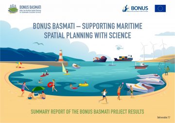
The summary report:
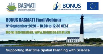
The material from the final seminar: