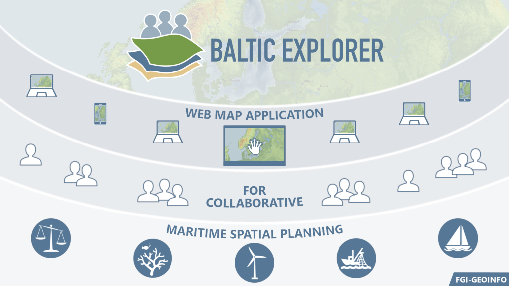
Maritime Spatial Planning (MSP) needs computerised tools that can aid in analysing and defining the current and future conditions in the marine environment, as well as to produce intelligible visualisations, and facilitate discussion between planners, stakeholders and decision makers. While several decision support tools have been developed for MSP, reports of their use in MSP processes is limited. One of the central goals of the BONUS BASMATI project was to develop the Baltic Explorer, an interactive and collaborative web-based Spatial Decision Support System (SDSS) for MSP in the Baltic Sea.
The system was developed as a multi-user, multi-platform collaborative SDSS that allows for group work in Maritime Spatial Planning in the Baltic Sea region. The development focused on collaborative aspects of the tool that let the users browse maritime data layers from a large number of data providers. The users can also conduct negotiation activities, such as drawing, editing and commenting spatial features in shared workspaces. Many users can work on the same view with different devices at the same time, and look at a view on a large screen simultaneously. Thus, the Baltic Explorer will facilitate discussion between different actors in MSP.
The Baltic Explorer was built to contain functionalities that were needed in the BONUS BASMATI case studies. For example, a calculational analysis tool was built into the system for geovisually assessing combined effects of marine factors in order to place ecosystem services appropriately.
The Baltic Explorer was tested in planning workshops and university courses in six cases, and the test results from professionals and students have revealed an overall positive attitude and need towards the use of such system in solving maritime spatial conflicts. On the basis of the tests, the key functions required for real-time cooperation were identified and the software’s usability was improved.
The Baltic Explorer is available at http://balticexplorer.eu and it has been published as free and open source software at https://github.com/FGI-GEOINFO/Baltic-Explorer.